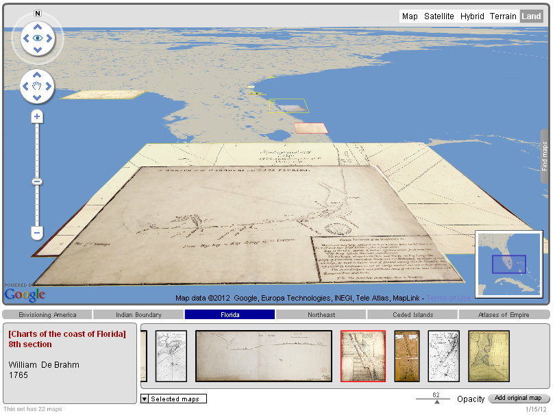
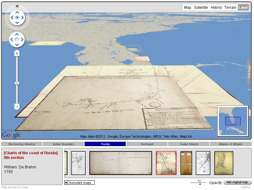
A large collections of more than 500 maps, plans, and charts of British North America and the West Indies. The final site will provide a full archive of images featured in S. Max Edelson, The New Map of Empire: How Britain Imagined America before Independence (Harvard University Press, forthcoming 2014).


