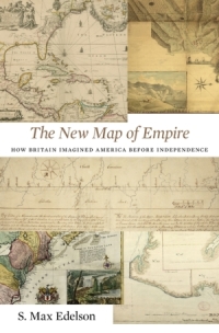
Maps and visualizations for S. Max Edelson, The New Map of Empire: How Britain Imagined America before Independence (Harvard University Press, 2017). Please feel free to report any technical issues with these digital atlases to edelson@virginia.edu.
1. A Vision for American Empire
2. Commanding Space after the Seven Years’ War
3. Securing the Maritime Northeast
4. Marking the Indian Boundary

