MapScholar

Menu

Skip to content
  • Discover
  • Build
  • Featured Atlases
  • News
  • Contact
  • The History Database Project

Post navigation

← Planting
Mapping Carolina →

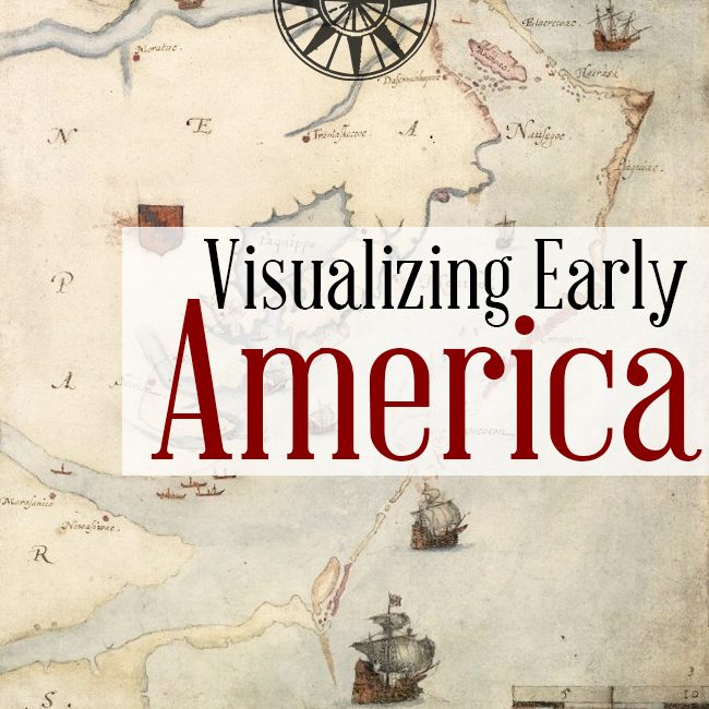
Visualizing Early America

Posted on September 17, 2014 by MapScholar

VisualizingEA

 Three Maps that Reveal the New World

This entry was posted in Atlases, Featured. Bookmark the permalink.

Post navigation

← Planting
Mapping Carolina →

Featured Atlas

Mapping Carolina
Cartography and the Quest for Empire in the Colonial Southeast

Search

News

  • Updated Florida Digital Atlas for The New Map of Empire released

    July 21, 2017 1:57 pm

  • Maps in World History

    May 4, 2017 2:28 pm

  • The Eighteenth Centuries

    May 3, 2017 9:23 pm

  • The Drawings of Zeev Porath

    April 9, 2017 12:51 pm

  • The Territorial Pattern of Settler Populations in North America

    December 7, 2015 9:37 pm

Archives

  • November 2017
  • August 2017
  • July 2017
  • May 2017
  • April 2017
  • December 2015
  • November 2015
  • December 2014
  • November 2014
  • September 2014
  • January 2014
  • April 2013
  • October 2012
  • August 2012
  • July 2012
  • January 2012
MapScholar is released under the MIT License. Site powered by WordPress, based on Bota theme by Ossie.